GOZ010 - Wied ir-Ramla
Description
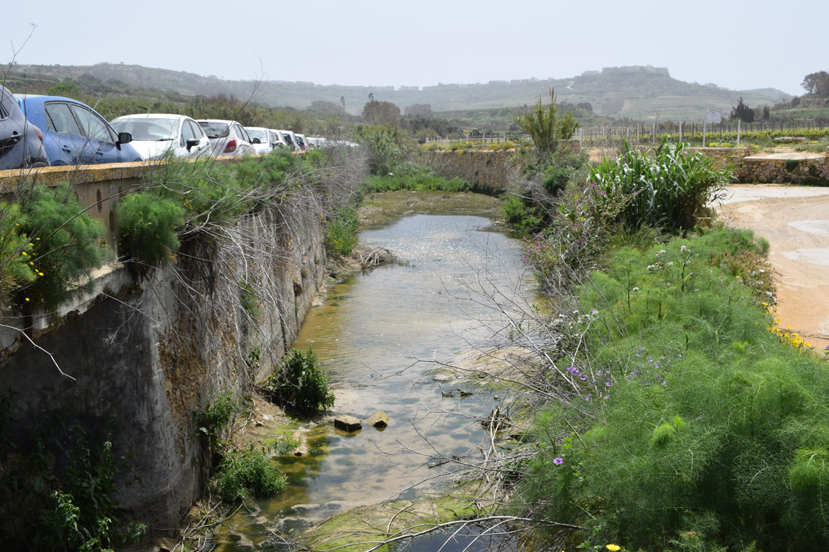
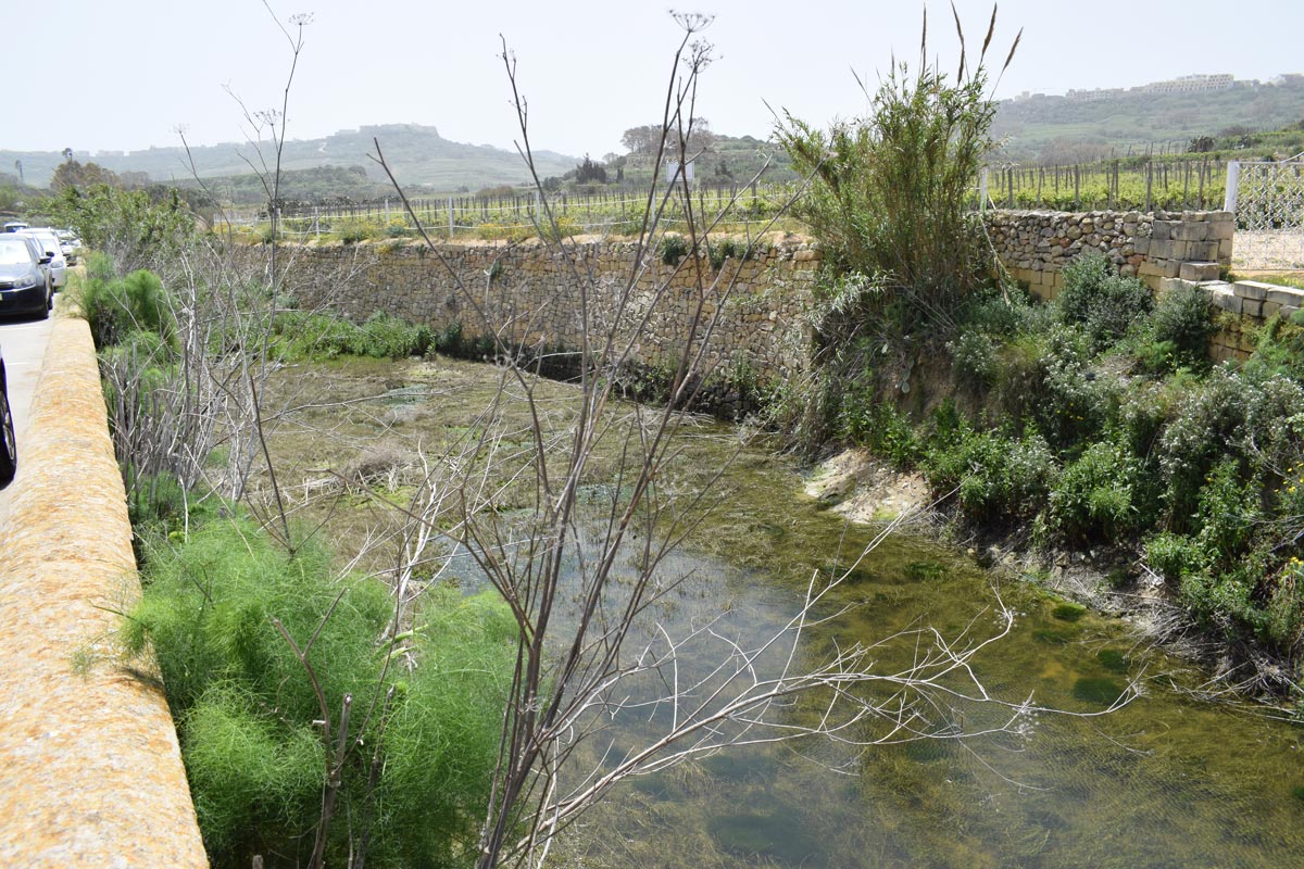
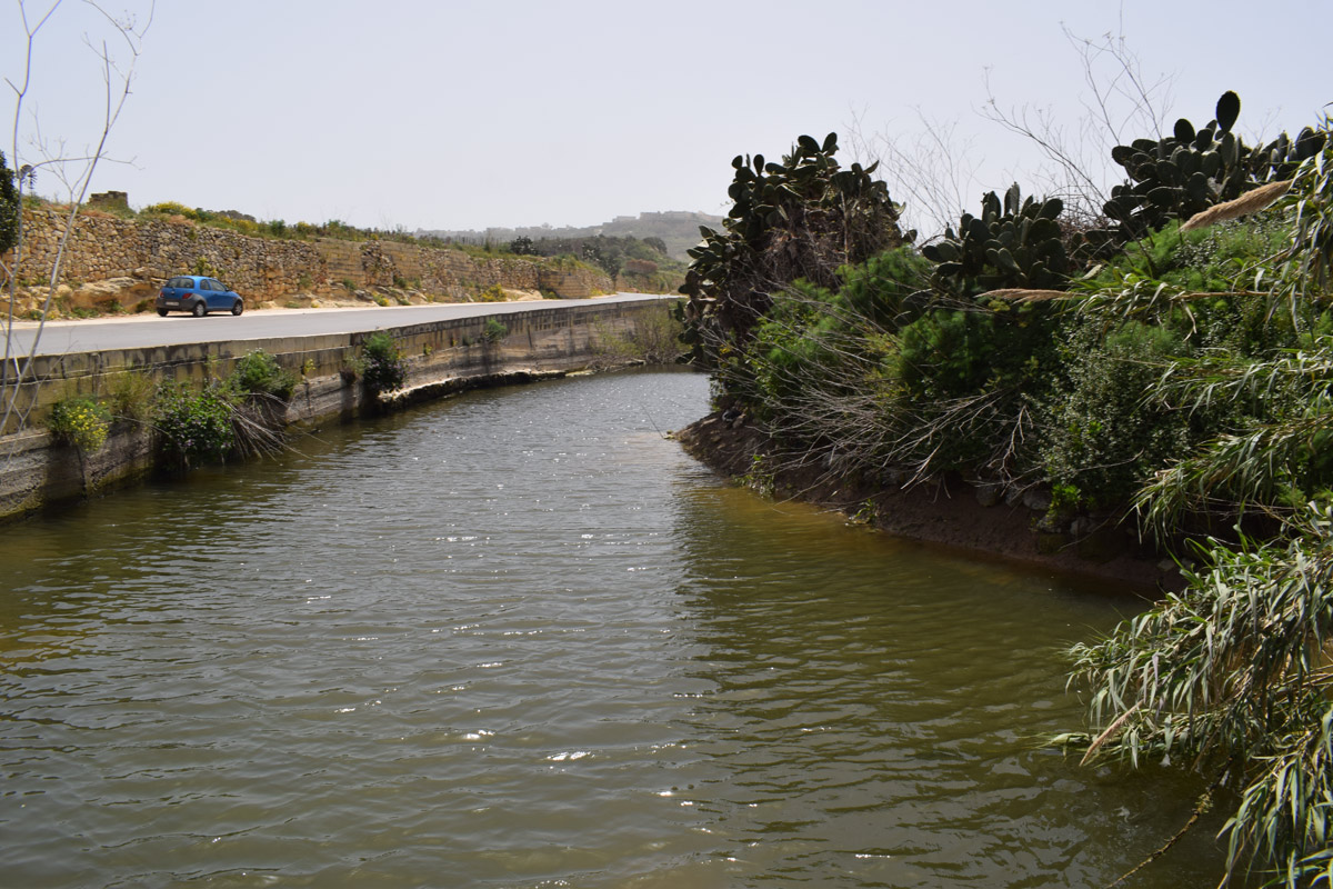
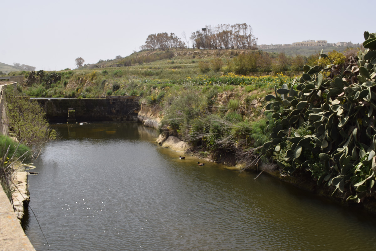
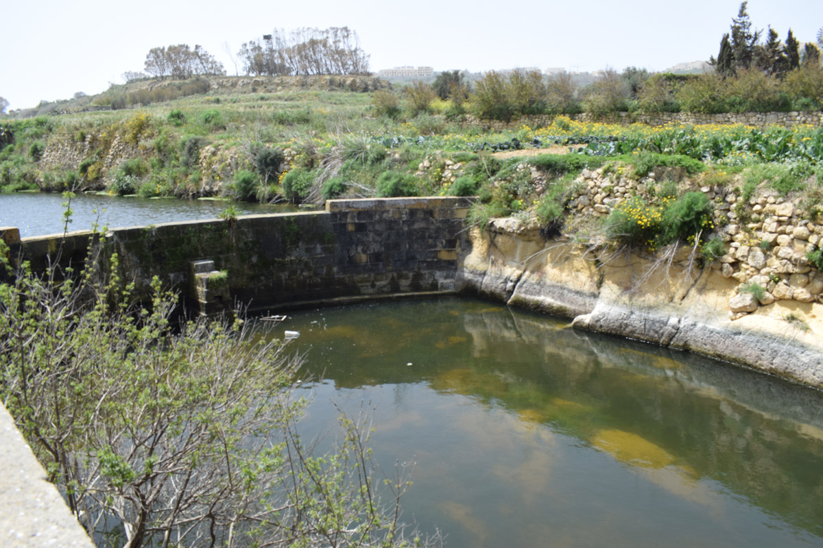
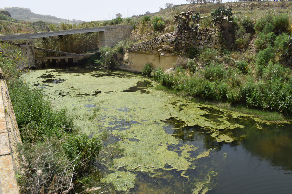
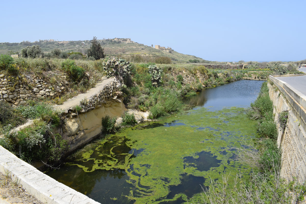
Wied ir-Ramla a valley with numerous artificially constructed dams, located in north-eastern Gozo within Xagħra. The site is easily accessible by the public as it is located adjacent to a surfaced road. The dam lakes cover an approximate area of 4,660m2. No irrigation pipelines were present through the dam lakes, however, due to the site being predominantly surrounded by agricultural land it is likely the stored water is being used for irrigational purposes. The site was dominated by Foeniculum vulgare, Oxalis pes-caprae, Dittrichia viscosa, Diplotaxis tenuiflia and Eurphorbia pinea. All the dam lakes throughout Wied ir-Ramla fall within a No Trapping Zone under S.L. 504.71.

Wetland data
Basic information
| Wetland location: | Inland |
| Wetland type: | Artificial |
| Wetland area: | 0.50 Ha |
| Hydrological interaction: | Yes |
| Water salinity: | Fresh (< 0.5 g/l) |
| Type of fresh water input: | Catchment area (precipitation) |
| Surface water runoff | Outflow controlled by pipeline |
| Open water area (%): | > 95 |
| Hydroperiod: | Permanent |
Geographic information
| Census district: | Gozo and Comino |
| Island: | Gozo |
| Local council: | Ix-Xaghra |
| Longitude: | 14.283900 East |
| Latitude: | 36.054760 North |
Biological significance
| Biological significance: | Low |
Ramsar wetland type
| Type | Coverage (%) |
| 6 -- Water storage areas; reservoirs/barrages/dams/impoundments (generally over 8 ha) |
Property status
| Public |
Ecosystem services
| Type of ecosystem service | Ecosystem service | Scale of Βenefit (%) | Importance |
| Regulatory services | Flood hazard regulation | ||
| Provisioning services | Food | ||
| Provisioning services | Fresh water | ||
| Regulatory services | Water purification | ||
| Regulatory services | Water regulation |
Activities on wetland
| Activity | Intensity |
| 020 = Resource conservation | High |
| 130 = Irrigation | High |
| 701 = water pollution | High |
| 790 = Other pollution/human impacts/activities | Medium |
| 920 = Drying out | High |
| 952 = eutrophication | Low |
Activities on catchment area
| Activity | Intensity |
| 100 = Cultivation | High |
| 110 = Use of pesticides | High |
| 120 = Fertilisation | High |
| 130 = Irrigation | High |
| 502 = roads motorways | High |
| 701 = water pollution | High |
Impacts
| Impact | Intensity |
| EB- = Increase in aesthetic qualities | High |
| ED- = Increase in sediment removal/retention | High |
| EE- = Increase of economic potential | High |
| ER- = Increase in flow regulation | Medium |
| ES- = Increase in water supply | High |
| EU- = Increase of tourist/recreation potential | Low |
| PF- = Fertilizer/Excess nutrient pollution | |
| PP- = Pesticide pollution | |
| PU- = Increase of turbidity |
Vegetation types
| Type | Coverage (%) |
| Emergent | 5 - 25 |
| Ammophilous | < 5 |
| Other | 26 - 50 |
Images