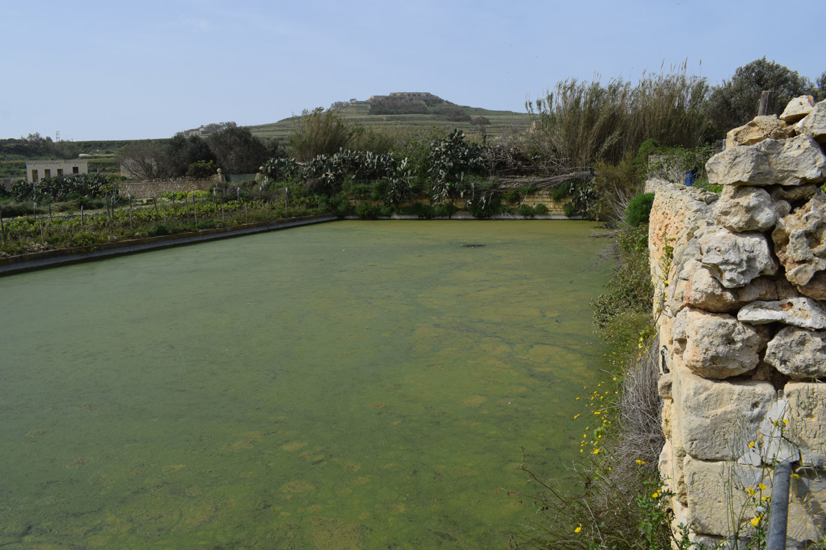
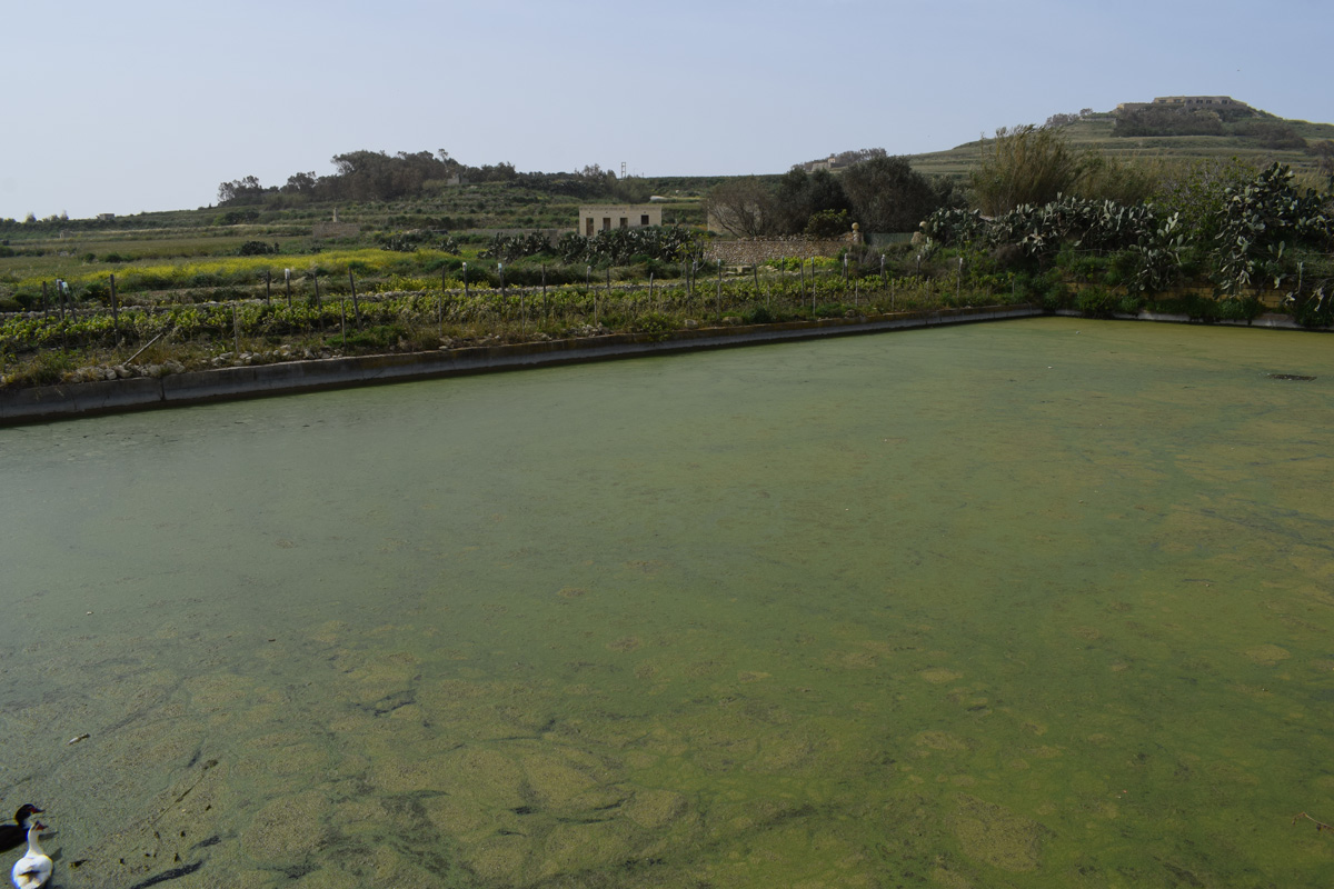
Tas-Seqer is an artificially constructed reservoir, intended for irrigation and water storage, located in western Gozo within the rural village of Għarb. The borders of the reservoir have been constructed out of cement, beneath a rubble wall. The reservoir covers an area of approximately 1,080m2. Access to the site is via a dirt road, however, it appears to be located on privately-owned property. Since the site is predominantly surrounded by agricultural land, the reservoir is likely to be used for the irrigation of these fields. Ducks and aquatic insects were noted during the field survey. The site is not protected by any legislation.
Wetland data
Basic information
Wetland location:
Inland
Wetland type:
Artificial
Wetland area:
0.10 Ha
Hydrological interaction:
-
Water salinity:
Fresh (< 0.5 g/l)
Type of fresh water input:
Catchment area (precipitation)
Surface water runoff
Outflow controlled by pipeline
Open water area (%):
> 95
Hydroperiod:
Permanent
Geographic information
Census district:
Gozo and Comino
Island:
Gozo
Local council:
Ta' Kercem
Longitude:
14.219010 East
Latitude:
36.053370 North
Biological significance
Biological significance:
Low
Ramsar wetland type
Type
Coverage (%)
6 -- Water storage areas; reservoirs/barrages/dams/impoundments (generally over 8 ha)
Property status
Private
Ecosystem services
Type of ecosystem service
Ecosystem service
Scale of Βenefit (%)
Importance
Regulatory services
Flood hazard regulation
Provisioning services
Food
Provisioning services
Fresh water
Activities on wetland
Activity
Intensity
020 = Resource conservation
High
130 = Irrigation
High
701 = water pollution
High
790 = Other pollution/human impacts/activities
Low
954 = invasion by a species
High
Activities on catchment area
Activity
Intensity
100 = Cultivation
High
110 = Use of pesticides
High
120 = Fertilisation
High
130 = Irrigation
High
430 = Agricultural structures
Low
502 = roads motorways
High
701 = water pollution
High
Impacts
Impact
Intensity
EE- = Increase of economic potential
High
EI- = Increase of other socio-economic value(s)
High
ER- = Increase in flow regulation
High
ES- = Increase in water supply
Low
PF- = Fertilizer/Excess nutrient pollution
High
PP- = Pesticide pollution
Vegetation types
Type
Coverage (%)
Floating-leaved
51 - 75
Flora
Species
Presence status
References
Lemna minor
Images
Nature Trust Malta. (2019). MtIsWet – Database of the Maltese Islands Wetlands. Updated: 04.2024