GOZ013 - Wied tal-Ort
Description
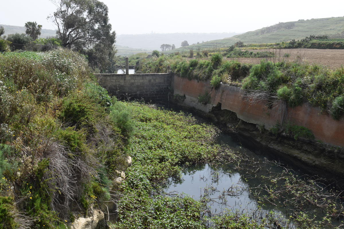
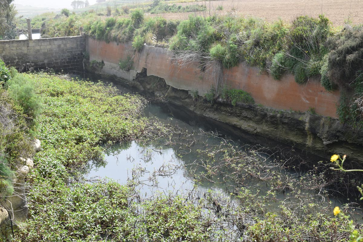
Wied ta’ l-Ort is a valley with numerous artificially constructed dams, located in central Gozo, within the outskirts of Rabat. The site is not accessible by the public as there are no passageways or footpaths available, however, the dam lakes are visible from a nearby surfaced road. The dam lakes cover an approximate area of 5,800m2. Culverts present within the road indicate the dam lakes are filled by water runoff thus being utilized as a flood mitigation measure. The water collected within the dam lakes are being used for irrigation purposes due to pipelines emerging from nearby agricultural land. The site was dominated by Persicaria senegalensis and Ricinus communis. The site is not protected by any legislation.

Wetland data
Basic information
| Wetland location: | Inland |
| Wetland type: | Artificial |
| Wetland area: | 0.60 Ha |
| Hydrological interaction: | Yes |
| Water salinity: | Fresh (< 0.5 g/l) |
| Type of fresh water input: | Catchment area (precipitation) |
| Surface water runoff | Outflow controlled by pipeline |
| Open water area (%): | 26 - 50 |
| Hydroperiod: | Permanent |
Geographic information
| Census district: | Gozo and Comino |
| Island: | Gozo |
| Local council: | Ir-Rabat, Ghawdex |
| Longitude: | 14.229500 East |
| Latitude: | 36.052650 North |
Biological significance
| Biological significance: | Low |
Ramsar wetland type
| Type | Coverage (%) |
| 6 -- Water storage areas; reservoirs/barrages/dams/impoundments (generally over 8 ha) |
Property status
| Public |
Ecosystem services
| Type of ecosystem service | Ecosystem service | Scale of Βenefit (%) | Importance |
| Regulatory services | Flood hazard regulation | ||
| Provisioning services | Food | ||
| Provisioning services | Fresh water | ||
| Regulatory services | Water purification | ||
| Regulatory services | Water regulation |
Activities on wetland
| Activity | Intensity |
| 020 = Resource conservation | High |
| 130 = Irrigation | High |
| 701 = water pollution | High |
| 790 = Other pollution/human impacts/activities | High |
| 910 = Silting up | Medium |
| 920 = Drying out | High |
| 954 = invasion by a species | Medium |
Activities on catchment area
| Activity | Intensity |
| 100 = Cultivation | High |
| 110 = Use of pesticides | High |
| 120 = Fertilisation | High |
| 130 = Irrigation | High |
| 402 = discontinuous urbanisation | Low |
| 501 = paths tracks cycling tracks | Medium |
| 502 = roads motorways | High |
| 701 = water pollution | High |
Impacts
| Impact | Intensity |
| ED- = Increase in sediment removal/retention | High |
| EE- = Increase of economic potential | High |
| ES- = Increase in water supply | High |
| PF- = Fertilizer/Excess nutrient pollution | High |
| PP- = Pesticide pollution | Medium |
Vegetation types
| Type | Coverage (%) |
| Wet meadow | 26 - 50 |
| Other | 5 - 25 |
Flora
| Species | Presence status | References |
| Persicaria senegalensis | ||
| Ricinus communis |
Images