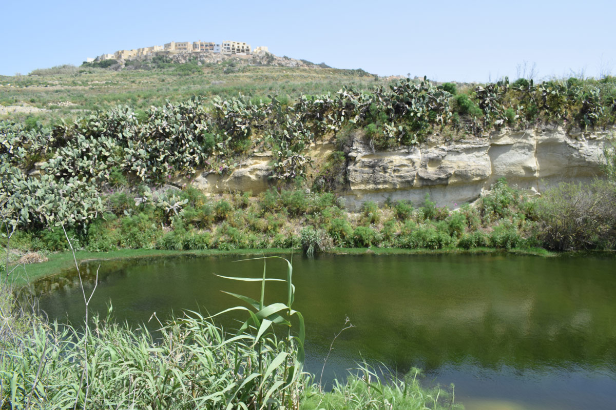
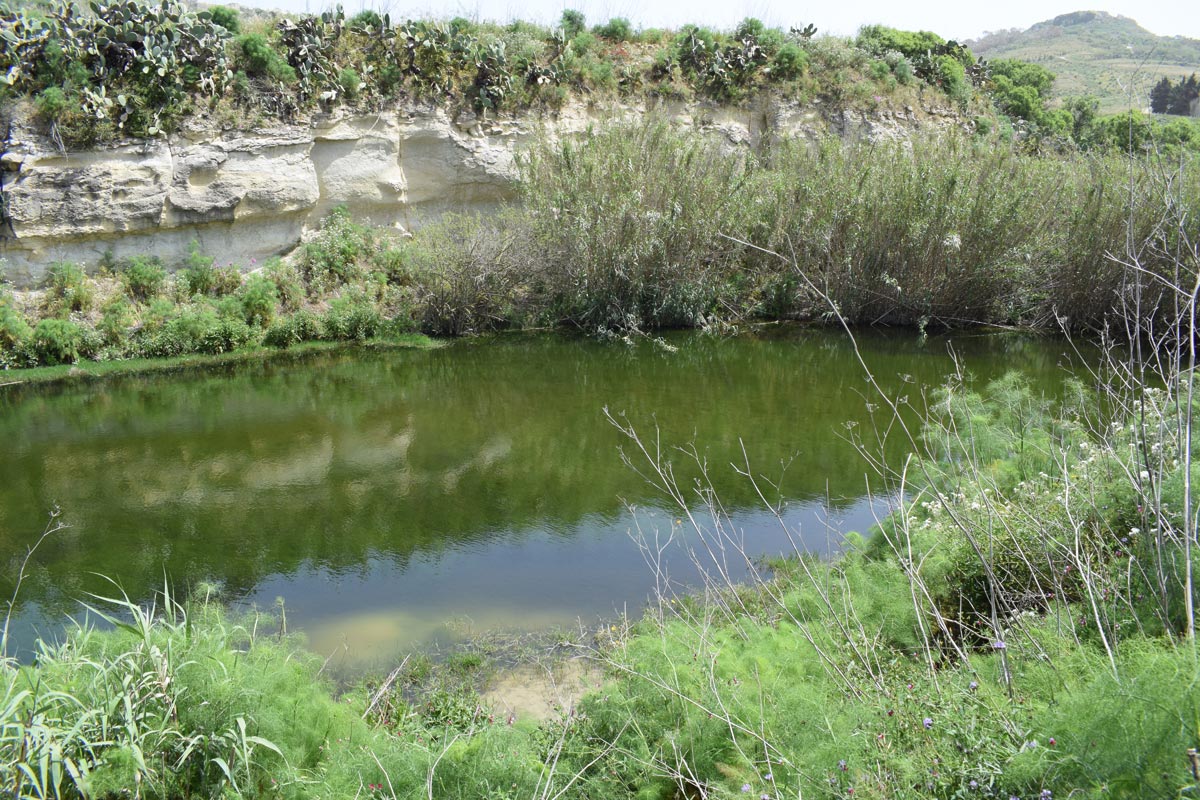
Wied tal-Altellier is an artificial dam lake, located in eastern Gozo, between Xagħra and Nadur. The site is located in a rural location, however it is accessible through an unpaved road. The dam lake covers an approximate area of 7,040m2. The site is predominantly surrounded by agricultural land with elevated pipelines present within the basin of the site. It is likely that the water collected is being utilised for irrigation purposes. The perimeter of the site is surrounded by species including, Arundo Donax, Tamaric sp., Geranium mole, Foeniculum volgare and Opuntia ficus-indica. A large population of Lemna minor is also present within the damn lake.
Within the dam lake, the alien frog, Pelophylax bedriagae is also present. The site falls within a No Trapping Zone under S.L. 504.71.
Wetland data
Basic information
Wetland location:
Inland
Wetland type:
Artificial
Wetland area:
0.70 Ha
Hydrological interaction:
Yes
Water salinity:
Fresh (< 0.5 g/l)
Type of fresh water input:
Catchment area (precipitation)
Surface water runoff
Outflow controlled by pipeline
Open water area (%):
> 95
Hydroperiod:
Permanent
Geographic information
Census district:
Gozo and Comino
Island:
Gozo
Local council:
In-Nadur
Longitude:
14.280230 East
Latitude:
36.044430 North
Biological significance
Biological significance:
Low
Ramsar wetland type
Type
Coverage (%)
6 -- Water storage areas; reservoirs/barrages/dams/impoundments (generally over 8 ha)
Property status
Public
Ecosystem services
Type of ecosystem service
Ecosystem service
Scale of Βenefit (%)
Importance
Regulatory services
Flood hazard regulation
Provisioning services
Food
Provisioning services
Fresh water
Cultural services
Recreation and tourism
Regulatory services
Water purification
Regulatory services
Water regulation
Activities on wetland
Activity
Intensity
020 = Resource conservation
High
130 = Irrigation
High
701 = water pollution
High
790 = Other pollution/human impacts/activities
Low
952 = eutrophication
Medium
954 = invasion by a species
Low
Activities on catchment area
Activity
Intensity
100 = Cultivation
High
110 = Use of pesticides
High
120 = Fertilisation
High
130 = Irrigation
High
230 = Hunting
High
401 = continuous urbanisation
Low
430 = Agricultural structures
Low
501 = paths tracks cycling tracks
Low
701 = water pollution
High
790 = Other pollution/human impacts/activities
Low
Impacts
Impact
Intensity
EB- = Increase in aesthetic qualities
High
EE- = Increase of economic potential
High
ER- = Increase in flow regulation
High
ES- = Increase in water supply
Low
PF- = Fertilizer/Excess nutrient pollution
Medium
PO- = Oil pollution
Low
PP- = Pesticide pollution
PU- = Increase of turbidity
Vegetation types
Type
Coverage (%)
Emergent
76 - 95
Other
26 - 50
Floating-leaved
26 - 50
Shrubby / Arborescent
< 5
Flora
Species
Presence status
References
Arundo donax
Foeniculum vulgare
Geranium molle
Lemna minor
Opuntia ficus-indica
Tamarix sp.
Fauna
Amphibians
Presence status in wetland
References
Pelophylax bedriagae (Camerano, 1882)
Images
Nature Trust Malta. (2019). MtIsWet – Database of the Maltese Islands Wetlands. Updated: 04.2024