GOZ027 - Tal-Lunzjata
Description
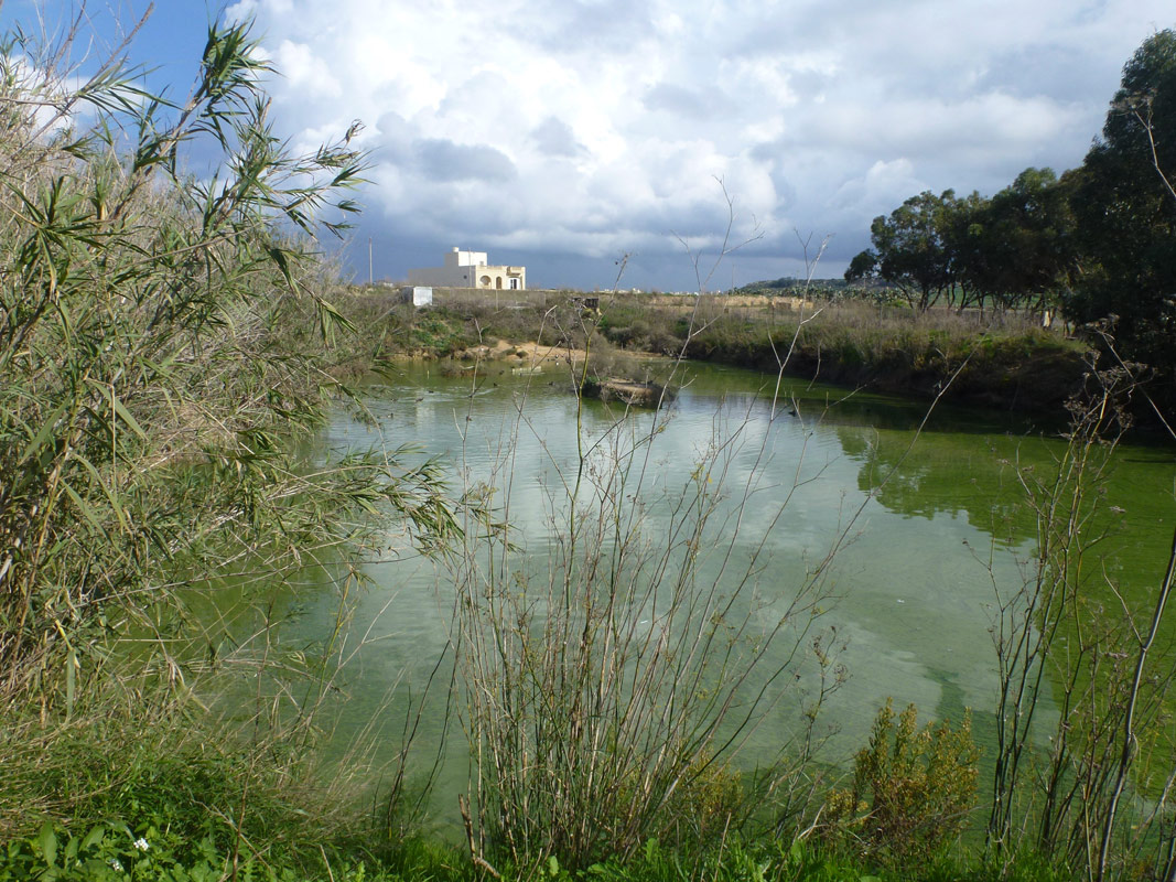
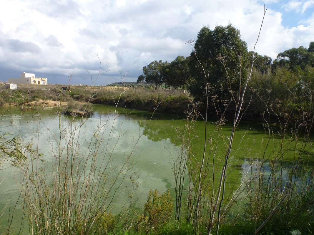
Tal-Lunzjata is an artificially excavated pond, located in central Gozo, between Xewkija and Għajnsielem. The pond covers an area of approximately 2,395m2. The pond is located on privately-owned land, however, it is accessible from a nearby surfaced road. The site is located adjacent to disturbed agricultural land and is located close to a vehicle repair/warehouse facility. The pond is likely fed by a borehole, however, there was no indication during the field visit that it is being used for irrigation. Within the basin of the pond some Arundo donax, Tamarix sp. and Eucalyptus sp. were noted. The site is not protected by any legislation.

Wetland data
Basic information
| Wetland location: | Inland |
| Wetland type: | Artificial |
| Wetland area: | 0.20 Ha |
| Hydrological interaction: | - |
| Water salinity: | Fresh (< 0.5 g/l) |
| Type of fresh water input: | Other |
| Surface water runoff | There is no obvious water outflow |
| Open water area (%): | 26 - 50 |
| Hydroperiod: | Unknown |
Geographic information
| Census district: | Gozo and Comino |
| Island: | Gozo |
| Local council: | Ix-Xewkija |
| Longitude: | 14.270680 East |
| Latitude: | 36.031690 North |
Biological significance
| Biological significance: | Low |
Ramsar wetland type
| Type | Coverage (%) |
| 2 -- Ponds; includes farm ponds, stock ponds, small tanks; (generally below 8 ha) |
Property status
| Private |
Activities on wetland
| Activity | Intensity |
| 020 = Resource conservation | High |
| 130 = Irrigation | High |
| 701 = water pollution | High |
| 952 = eutrophication | Low |
| 954 = invasion by a species | High |
Activities on catchment area
| Activity | Intensity |
| 100 = Cultivation | High |
| 110 = Use of pesticides | High |
| 120 = Fertilisation | High |
| 130 = Irrigation | High |
| 401 = continuous urbanisation | High |
| 419 = other industrial / commercial areas | High |
| 502 = roads motorways | High |
| 701 = water pollution | High |
Impacts
| Impact | Intensity |
| AN- = Increase in noise | High |
| EE- = Increase of economic potential | High |
| ES- = Increase in water supply | High |
| FC- = Change in faunal species composition | Low |
| PF- = Fertilizer/Excess nutrient pollution | High |
| PP- = Pesticide pollution |
Vegetation types
| Type | Coverage (%) |
| Emergent | 5 - 25 |
| Shrubby / Arborescent | < 5 |
Flora
| Species | Presence status | References |
| Arundo donax | ||
| Tamarix sp. |
Images