MAL009 - Salina Resort
Description
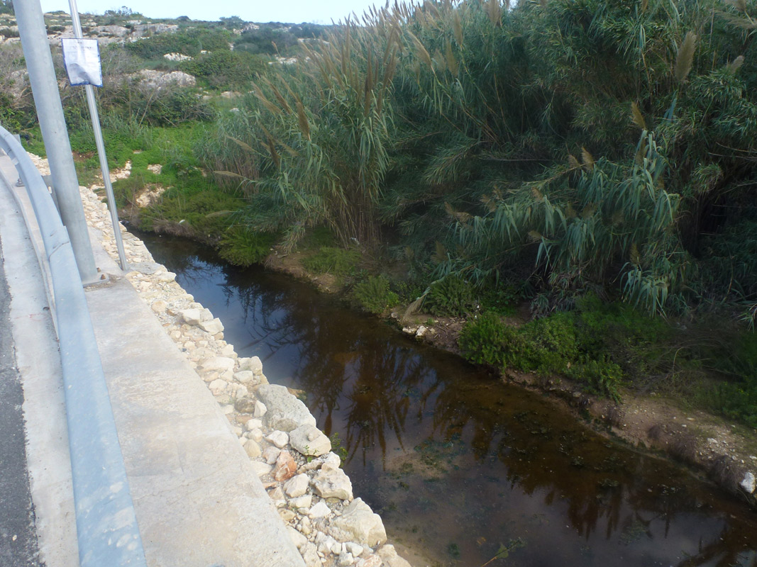
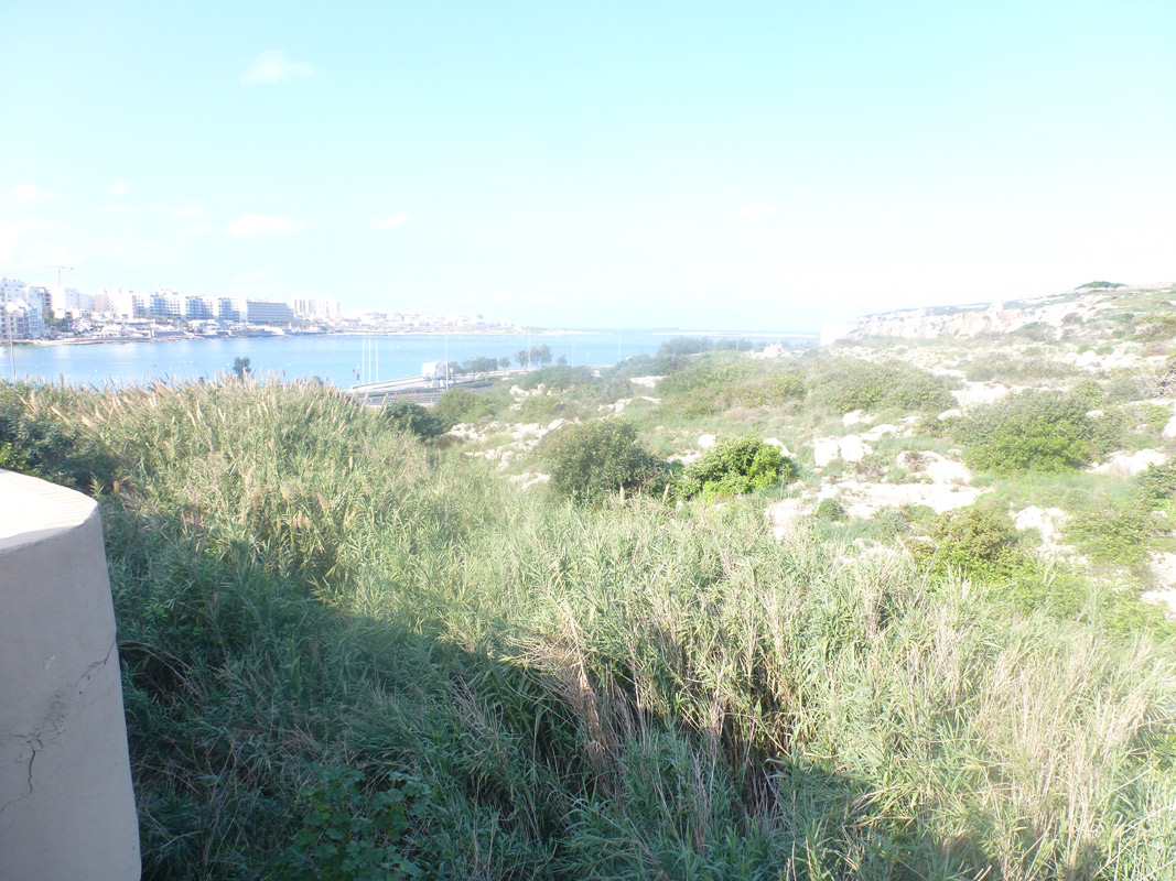
This site does not have a place name, therefore, the name of the adjacent hotel was given to the site. The site is defined by the topography. To the west of the site, there is a hotel and the access road to the hotel’s back-of-house, and to the east there is unused land with traces of old quarrying.In the past the watercourse area included a sewerage pump station (1968 survey sheet). The Coast Road creates a barrier between the site and the sea. There are two pipes that seem to connect the site to the sea. Water originates from the Għallis area and from tubes channelling water collected from the hotel / hotel area. The site is in a highly degraded condition and is dominated by Arundo donax. The edges of the watercourse include Ceratonia siliqua and ornamental species that likely invaded from the hotel’s grounds.

Wetland data
Basic information
| Wetland location: | Marine/Coastal |
| Wetland type: | Natural |
| Wetland area: | 0.30 Ha |
| Hydrological interaction: | - |
| Water salinity: | Brackish (5.0-18.0 g/l) |
| Type of fresh water input: | Torrent / Stream - Unconfined aquifer |
| Surface water runoff | Other |
| Open water area (%): | < 5 |
| Hydroperiod: | Unknown |
Geographic information
| Census district: | Northern |
| Island: | Malta |
| Local council: | In-Naxxar |
| Longitude: | 14.428690 East |
| Latitude: | 35.948350 North |
Wetland condition
| Wetland status (MEDWET): | 5 - Original habitats/landform totally changed |
Ramsar wetland type
| Type | Coverage (%) |
| F -- Estuarine waters; permanent water of estuaries and estuarine systems of deltas |
Property status
| Private |
Ecosystem services
| Type of ecosystem service | Ecosystem service | Scale of Βenefit (%) | Importance |
| Supporting services | Provision of habitat |
Activities on wetland
| Activity | Intensity |
| 010 = Habitat conservation | Low |
Activities on catchment area
| Activity | Intensity |
| 010 = Habitat conservation | Low |
| 100 = Cultivation | Low |
| 110 = Use of pesticides | Low |
| 120 = Fertilisation | Low |
| 130 = Irrigation | Low |
| 170 = Animal breeding | Medium |
| 402 = discontinuous urbanisation | High |
| 502 = roads motorways | High |
Impacts
| Impact | Intensity |
| HF- = Habitat fragmentation | Low |
| HL- = Habitat loss |
Vegetation types
| Type | Coverage (%) |
| Emergent | > 95 |
| Shrubby / Arborescent |
Flora
| Species | Presence status | References |
| Arundo donax | ||
| Ceratonia siliqua | ||
| Ficus carica |
Images