MAL028 - Ta' Qali 2
Description
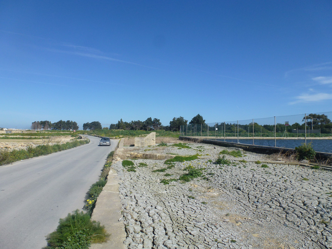
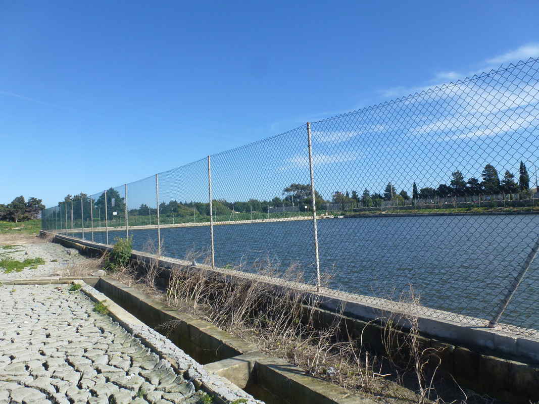
Ta’ Qali is an artificially constructed reservoir, intended for irrigation and water storage, located in central Malta within Ta’ Qali. The reservoir is constructed from cement and limestone and covers an approximate area of 3,200m2. The site is accessible from two surfaced roads, however the borders of the reservoir are completely fenced off . A recreational dog park is located on the western side of the reservoir whilst an active roadway is located to the east. Since the northern and southern sides of the reservoirs are agricultural land, the reservoir is likely to be used for the irrigation of these fields. No vegetation was present within the basin or reservoir itself. The site falls within the Ta’ Qali Recreation Area and the Ta’ Qali Action Plan Area.
Wetland data
Basic information
| Wetland location: | Inland |
| Wetland type: | Artificial |
| Wetland area: | 0.30 Ha |
| Hydrological interaction: | - |
| Water salinity: | Fresh (< 0.5 g/l) |
| Type of fresh water input: | Catchment area (precipitation) |
| Surface water runoff | Outflow controlled by spillway |
| Open water area (%): | > 95 |
| Hydroperiod: | Permanent |
Geographic information
| Census district: | Western |
| Island: | Malta |
| Local council: | H'Attard |
| Longitude: | 14.413660 East |
| Latitude: | 35.898660 North |
Biological significance
| Biological significance: | Low |
Ramsar wetland type
| Type | Coverage (%) |
| 6 -- Water storage areas; reservoirs/barrages/dams/impoundments (generally over 8 ha) |
Property status
| Private |
| Protection status category | Protection status subcategory | Area's name | Code | Coverage area (%) | Legislation |
| National | Bird Sanctuary | Il-kumpless Ta' Qali | 146725 | 100 | Environment Protection Act (Act I of 2016) |
CDDA protection status
| CDDA code | CDDA category |
| MT03 | Bird Sanctuary |
Ecosystem services
| Type of ecosystem service | Ecosystem service | Scale of Βenefit (%) | Importance |
| Provisioning services | Food | ||
| Provisioning services | Fresh water |
Activities on wetland
| Activity | Intensity |
| 020 = Resource conservation | High |
| 110 = Use of pesticides | Medium |
| 120 = Fertilisation | Medium |
| 130 = Irrigation | Medium |
| 701 = water pollution | High |
Activities on catchment area
| Activity | Intensity |
| 100 = Cultivation | Medium |
| 110 = Use of pesticides | Medium |
| 120 = Fertilisation | Medium |
| 130 = Irrigation | Medium |
| 502 = roads motorways | High |
| 701 = water pollution | High |
Impacts
| Impact | Intensity |
| EE- = Increase of economic potential | High |
| ES- = Increase in water supply | Medium |
| PF- = Fertilizer/Excess nutrient pollution | Medium |
| PP- = Pesticide pollution | Medium |
Images