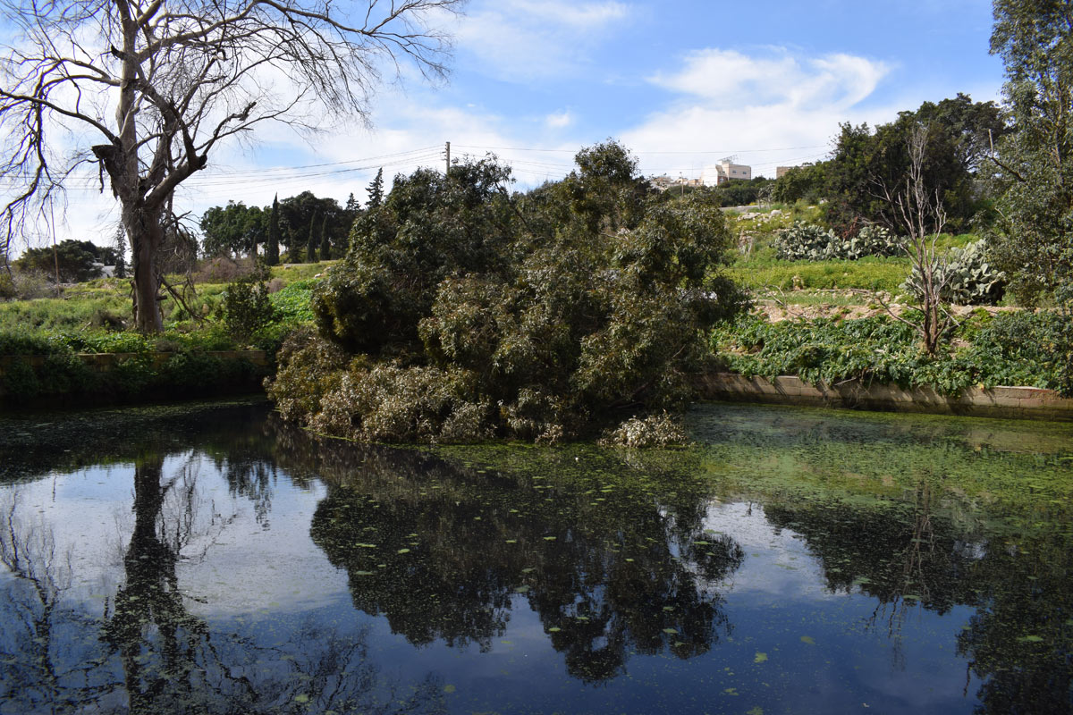
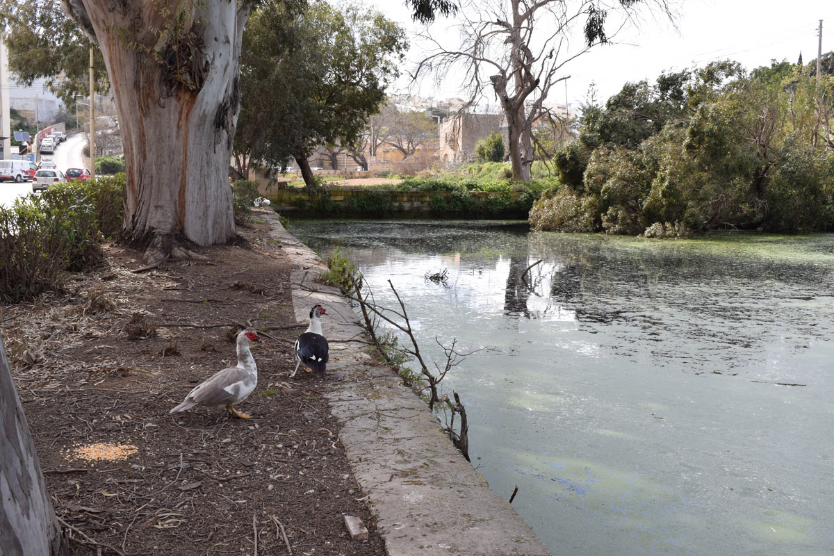
Il-Wied tal-Imsida is an artificially constructed reservoir, intended for irrigation and water storage, located in central Malta within Imsida. The borders of the reservoir have been constructed out of limestone blocks, and the site covers an area of approximately 1,900m2. Access to the site is via a surfaced road. A car park is located on the north, while an active roadway lies to the east. Active agricultural fields are present towards the west and south with pipelines accessing the reservoir, indicating it is used for irrigation. Lemna minor L. was present within the reservoir, while Eucalyptus camaldulensis and Ricinus communis were present around the basin, all aliens and the latter are highly invasive. The site is not protected by any legislation.
Wetland data
Basic information
Wetland location:
Inland
Wetland type:
Artificial
Wetland area:
0.20 Ha
Hydrological interaction:
-
Water salinity:
Fresh (< 0.5 g/l)
Type of fresh water input:
Catchment area (precipitation)
Surface water runoff
Other
Open water area (%):
> 95
Hydroperiod:
Permanent
Geographic information
Census district:
Northern Harbour
Island:
Malta
Local council:
L-Imsida
Longitude:
14.484110 East
Latitude:
35.895350 North
Biological significance
Biological significance:
Low
Ramsar wetland type
Type
Coverage (%)
6 -- Water storage areas; reservoirs/barrages/dams/impoundments (generally over 8 ha)
Property status
Public
Ecosystem services
Type of ecosystem service
Ecosystem service
Scale of Βenefit (%)
Importance
Provisioning services
Food
Provisioning services
Fresh water
Activities on wetland
Activity
Intensity
020 = Resource conservation
High
110 = Use of pesticides
High
120 = Fertilisation
High
130 = Irrigation
High
701 = water pollution
High
954 = invasion by a species
High
Activities on catchment area
Activity
Intensity
100 = Cultivation
High
110 = Use of pesticides
High
120 = Fertilisation
High
130 = Irrigation
High
401 = continuous urbanisation
High
502 = roads motorways
High
Impacts
Impact
Intensity
EE- = Increase of economic potential
High
ES- = Increase in water supply
High
PF- = Fertilizer/Excess nutrient pollution
High
PP- = Pesticide pollution
High
Vegetation types
Type
Coverage (%)
Floating-leaved
76 - 95
Shrubby / Arborescent
5 - 25
Flora
Species
Presence status
References
Urtica sp.
Images
Nature Trust Malta. (2019). MtIsWet – Database of the Maltese Islands Wetlands. Updated: 04.2024