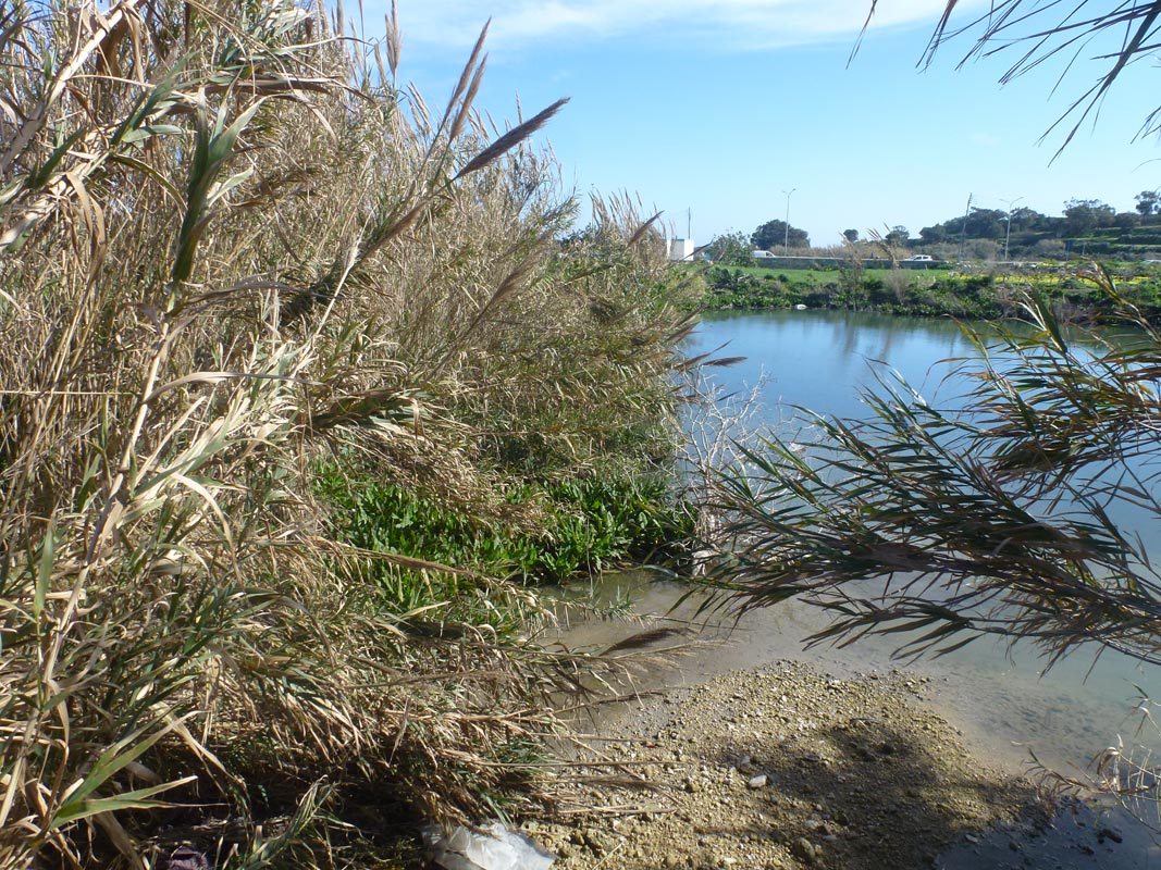
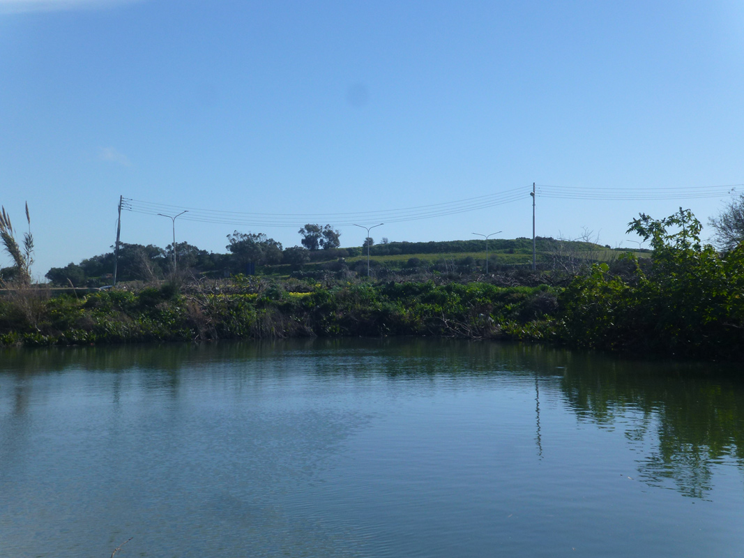
Il-Wilga tal-Hemsija is an artificially constructed pond, intended for flood prevention and water storage, located within western Malta between Mdina and Attard. Cement culverts had been constructed in order to divert water from Wied ta’ Hemsija and nearby surfaced roads into the pond. The pond is not accessible by the public as there are no pathways and it covers an approximate area of 1,230m2. The pond is predominantly surrounded by agricultural land, however, there were no pipelines present indicating it is being used for irrigation. The pond’s basin was dominated by Arundo donax, Ricinus communis and Rumex conglomeratus with a few Ceratonia siliqua specimens around the basin. The site is located in the Mdina Area of High Landscape Chadwick Lakes and part of the Mdina Area of High Landscape Value.
Wetland data
Basic information
Wetland location:
Inland
Wetland type:
Artificial
Wetland area:
0.10 Ha
Hydrological interaction:
Yes
Water salinity:
Fresh (< 0.5 g/l)
Type of fresh water input:
Torrent / Stream - Unconfined aquifer
Surface water runoff
There is no obvious water outflow
Open water area (%):
76 - 95
Hydroperiod:
Permanent
Geographic information
Census district:
Western
Island:
Malta
Local council:
L-Imdina
Longitude:
14.409190 East
Latitude:
35.888260 North
Biological significance
Biological significance:
Low
Ramsar wetland type
Type
Coverage (%)
2 -- Ponds; includes farm ponds, stock ponds, small tanks; (generally below 8 ha)
Property status
Public
Protection statuses
Protection status category
Protection status subcategory
Area's name
Code
Coverage area (%)
Legislation
National
Area of High Landscape Value
Mdina
555546305
100
Development Planning Act (Act VII of 2016)
CDDA protection status
CDDA code
CDDA category
MT15
Area of High Landscape Value
Ecosystem services
Type of ecosystem service
Ecosystem service
Scale of Βenefit (%)
Importance
Regulatory services
Flood hazard regulation
Provisioning services
Food
Provisioning services
Fresh water
Cultural services
Recreation and tourism
Regulatory services
Water purification
Activities on wetland
Activity
Intensity
020 = Resource conservation
High
130 = Irrigation
High
701 = water pollution
High
910 = Silting up
Medium
Activities on catchment area
Activity
Intensity
100 = Cultivation
High
110 = Use of pesticides
High
120 = Fertilisation
High
130 = Irrigation
High
230 = Hunting
Low
502 = roads motorways
High
701 = water pollution
High
830 = Canalisation
High
910 = Silting up
Medium
954 = invasion by a species
Medium
Impacts
Impact
Intensity
EB- = Increase in aesthetic qualities
High
ED- = Increase in sediment removal/retention
High
ER- = Increase in flow regulation
High
ES- = Increase in water supply
Medium
PF- = Fertilizer/Excess nutrient pollution
PP- = Pesticide pollution
Vegetation types
Type
Coverage (%)
Emergent
5 - 25
Shrubby / Arborescent
< 5
Other
5 - 25
Flora
Species
Presence status
References
Arundo donax
Ceratonia siliqua
Ricinus communis
Rumex conglomeratus
Images
Nature Trust Malta. (2019). MtIsWet – Database of the Maltese Islands Wetlands. Updated: 04.2024