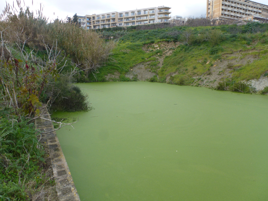
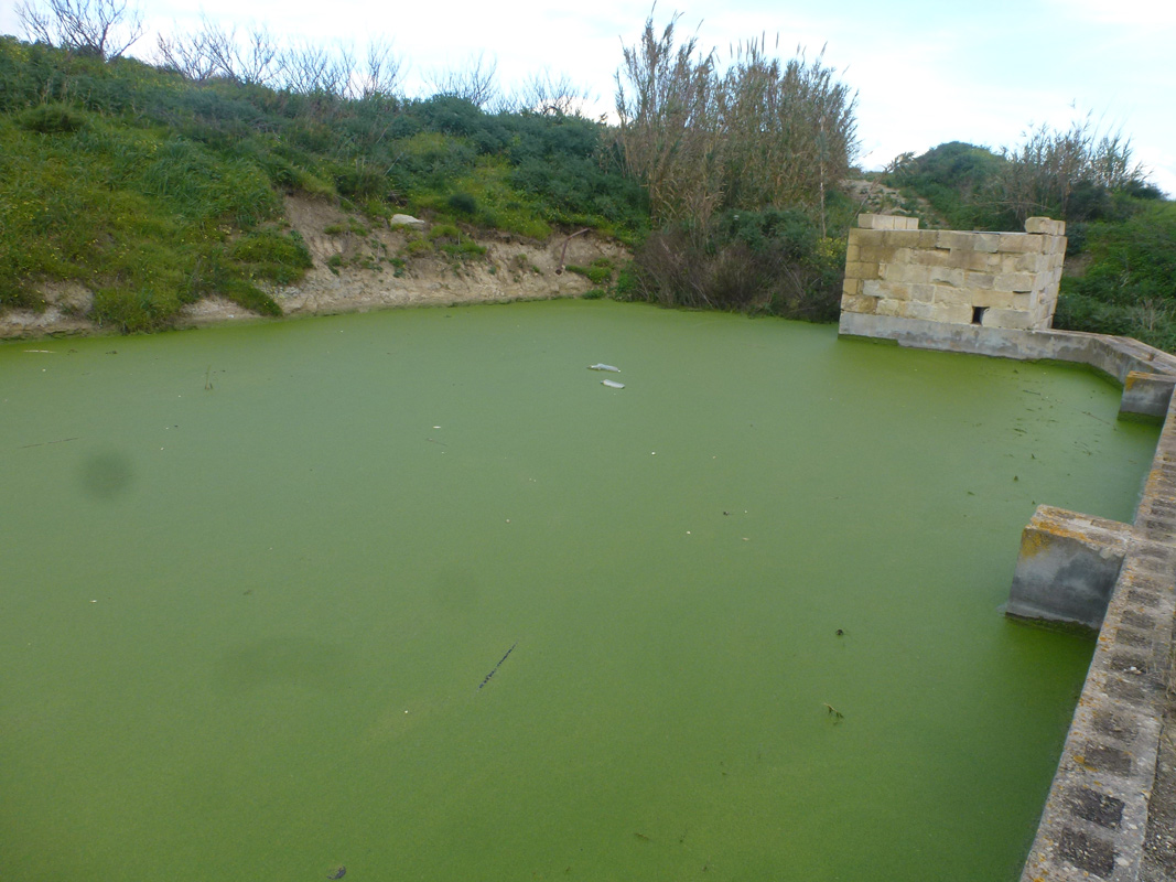
It-Tafal ta’ Xmejxi is an artificial pond, located in western Malta within Rabat. The borders of the pond had been constructed out of cement blocks, and concrete bumps had been purposely constructed on the adjacent road, to divert water runoff directly into the pond. The pond covers an approximate area of 1,710m2 and is accessible to the public via a surfaced road. The site is predominantly surrounded by agricultural land, thus it is likely the pond is being used for irrigation of these fields. Ricinus communis occupies the basin of the pond, with a dense population of Arundo donax present close by. The pond itself was completely covered with a thin layer of Lemna minor L. The site is located within the Saqqajja Area of High Landscape Value.
Wetland data
Basic information
Wetland location:
Inland
Wetland type:
Artificial
Wetland area:
0.20 Ha
Hydrological interaction:
Yes
Water salinity:
Fresh (< 0.5 g/l)
Type of fresh water input:
Catchment area (precipitation)
Surface water runoff
Other
Open water area (%):
51 - 75
Hydroperiod:
Permanent
Geographic information
Census district:
Western
Island:
Malta
Local council:
Ir-Rabat
Longitude:
14.403990 East
Latitude:
35.876360 North
Biological significance
Biological significance:
Low
Ramsar wetland type
Type
Coverage (%)
6 -- Water storage areas; reservoirs/barrages/dams/impoundments (generally over 8 ha)
Property status
Public
Protection statuses
Protection status category
Protection status subcategory
Area's name
Code
Coverage area (%)
Legislation
National
Area of High Landscape Value
Is-Saqqajja
555546313
100
Development Planning Act (Act VII of 2016)
CDDA protection status
CDDA code
CDDA category
MT15
Area of High Landscape Value
Ecosystem services
Type of ecosystem service
Ecosystem service
Scale of Βenefit (%)
Importance
Regulatory services
Flood hazard regulation
Provisioning services
Food
Provisioning services
Fresh water
Regulatory services
Water regulation
Activities on wetland
Activity
Intensity
020 = Resource conservation
High
701 = water pollution
High
852 = modifying structures of inland water courses
High
954 = invasion by a species
Low
Activities on catchment area
Activity
Intensity
100 = Cultivation
High
110 = Use of pesticides
High
120 = Fertilisation
High
430 = Agricultural structures
Low
501 = paths tracks cycling tracks
Low
701 = water pollution
High
852 = modifying structures of inland water courses
High
Impacts
Impact
Intensity
EE- = Increase of economic potential
High
ER- = Increase in flow regulation
High
ES- = Increase in water supply
High
PF- = Fertilizer/Excess nutrient pollution
Low
PP- = Pesticide pollution
Vegetation types
Type
Coverage (%)
Emergent
26 - 50
Floating-leaved
> 95
Other
26 - 50
Flora
Species
Presence status
References
Arundo donax
Lemna minor
Ricinus communis
Rumex conglomeratus
Images
Nature Trust Malta. (2019). MtIsWet – Database of the Maltese Islands Wetlands. Updated: 04.2024