MAL070 - Marsaskala
Description
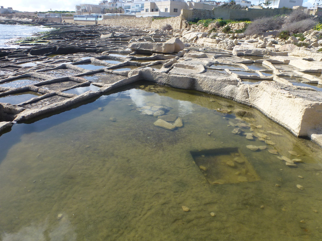
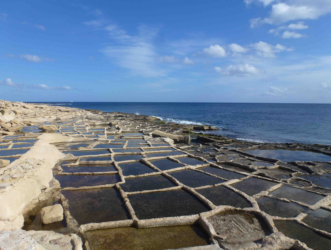
Marsaskala is a series of salt pans along the coast in southern Malta, within the locality of Marsaskala. The site is easily accessible from numerous different pathways from a nearby surfaced road. The salt pans cover an approximate area of 4,850m2. It is unclear whether the salt pans are still actively being used for salt harvesting, however, the presence of green algae is an indication that they are probably not still in use. No vegetation was present growing within and around the site.

Wetland data
Basic information
| Wetland location: | Marine/Coastal |
| Wetland type: | Artificial |
| Wetland area: | 0.50 Ha |
| Hydrological interaction: | - |
| Water salinity: | Salty (> 18.0 g/l) |
| Type of fresh water input: | Catchment area (precipitation) |
| Surface water runoff | Other |
| Open water area (%): | 76 - 95 |
| Hydroperiod: | Permanent |
Geographic information
| Census district: | South Eastern |
| Island: | Malta |
| Local council: | Marsaskala |
| Longitude: | 14.572140 East |
| Latitude: | 35.858930 North |
Biological significance
| Biological significance: | Low |
Ramsar wetland type
| Type | Coverage (%) |
| 5 -- Salt exploitation sites; salt pans, salines, etc. |
Property status
| Public |
Ecosystem services
| Type of ecosystem service | Ecosystem service | Scale of Βenefit (%) | Importance |
| Cultural services | Cultural heritage | ||
| Supporting services | Provision of habitat |
Activities on wetland
| Activity | Intensity |
| 020 = Resource conservation | High |
| 340 = Salt works | High |
| 690 = Other leisure and tourism impacts | Low |
| 710 = Noise nuisance | Medium |
| 920 = Drying out | High |
Activities on catchment area
| Activity | Intensity |
| 401 = continuous urbanisation | High |
| 502 = roads motorways | Medium |
Impacts
| Impact | Intensity |
| EB- = Increase in aesthetic qualities | High |
| EE- = Increase of economic potential | High |
| EF- = Increase in protection from natural forces | Low |
| EO- = Increase potential for natural products | Medium |
| EU- = Increase of tourist/recreation potential | High |
Images