MAL074 - Tal-Isqof 1
Description
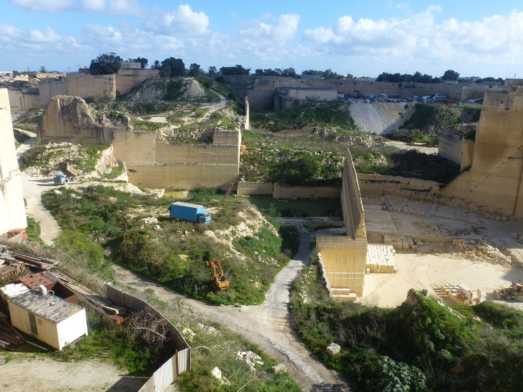
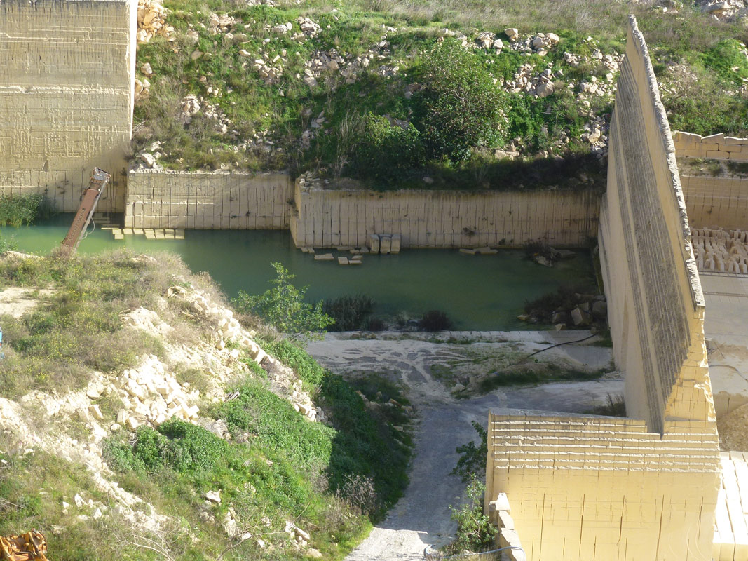
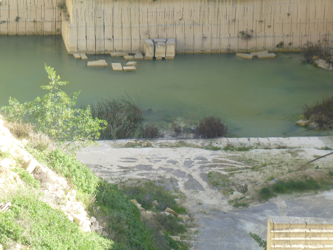
Tal-Isqof is an artificial pond inside a quarry, located in south-western Malta within L-Imqabba. The quarry is still actively being used, and the pond within it is shallow and covers an area of approximately 1,050m2. The site is not accessible to the public as it is locked behind a gate and is located on privately-owned land. There is no clear indication as to what the pond is being used for, however, hunting hides within the area indicate it is potentially used for hunting activities. A small population of Typha domingensis is present. The site is not protected by any legislation.

Wetland data
Basic information
| Wetland location: | Inland |
| Wetland type: | Artificial |
| Wetland area: | 0.10 Ha |
| Hydrological interaction: | - |
| Water salinity: | Fresh (< 0.5 g/l) |
| Type of fresh water input: | Catchment area (precipitation) |
| Surface water runoff | There is no obvious water outflow |
| Open water area (%): | 76 - 95 |
| Hydroperiod: | Permanent |
Geographic information
| Census district: | South Eastern |
| Island: | Malta |
| Local council: | L-Imqabba |
| Longitude: | 14.473560 East |
| Latitude: | 35.848760 North |
Biological significance
| Biological significance: | Low |
Ramsar wetland type
| Type | Coverage (%) |
| 7 -- Excavations; gravel/brick/clay pits; borrow pits, mining pools |
Property status
| Private |
Ecosystem services
| Type of ecosystem service | Ecosystem service | Scale of Βenefit (%) | Importance |
| Provisioning services | Fresh water | ||
| Regulatory services | Water regulation |
Activities on wetland
| Activity | Intensity |
| 301 = quarries | High |
| 920 = Drying out | Medium |
Activities on catchment area
| Activity | Intensity |
| 301 = quarries | High |
| 410 = Industrial or commercial areas | Medium |
| 412 = industrial stockage | High |
| 419 = other industrial / commercial areas | Medium |
| 440 = Storage of materials | Medium |
| 501 = paths tracks cycling tracks | Low |
| 800 = Landfill land reclamation and drying out | Medium |
Impacts
| Impact | Intensity |
| ES- = Increase in water supply | High |
Images